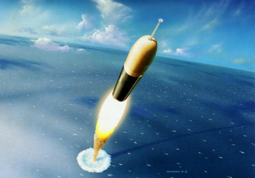
As Nigeria establish its prescence in the Space technology world again, by lauching its Nig-Sat II and NigSat-X Satellites on August 17, 2011 at 7.15 GMT in Yasni, Russia; so much question lingers in the mind of every Nigerian on how much benefit these Satellites in outer space could bring to the man on the streets of Nigeria, perhaps to Africans at Large.
The Nigeria SAT-II has a resolution of 2.5m (panchromatic), 32m (compatible with DMC) and 5m (multispectral) at 700km; has a swath of 300km and mass of 286kg; its application areas include land resources, water resources,the environment and monitoring of disaster prone areas in Nigeria and neighbouring countries. The Nigeria SAT-X built by Nigerian Engineers from the National Space Research Development Agency (NASRDA) is an Earth Observation satellite with resolution of 22m at 700km, has a swath of 600km with a mass of 88.1kg; application areas will include mapping, agriculture, urban planning etc
Space technology as always been finding increasing application and relevance in daily life, to the point where, nowadays, space applications are an indispensible part of the modern information society. With Insecurity and Natural Disasters been prevalent in Nigeria, and the Sub Saharan Africa, one of the potentials of these Satellites is the ability to address issues of National Insecurity by protecting lives, properties and the environment, Allow for early warning systems in Disaster Preparedness; co-ordinates Emmergency Response,and stimulates industrial and economic development.
In some developing countries that are operating satellites of their own - Venezuela, Brazil, Belarus, Saudi Arabia, Greece, Algeria, Turkey, South Africa, Malaysia and a list of others, space applications include its use for urban planning and transportation, water resources and agriculture, addressing issues of air pollution and energy, disaster and natural resource management, positioning and navigation, Health issues, education and communication.
Nevertheless,in Nigeria, these space applicatons still remain vague owing to the fact that education and capacity building initiatives have not been encouraged to develop the requisite human capital to support activities of National Space Agencies in the country, which includes development of space applications products and services. However,with the launch of these two satellites, our decision makers and policy makers should be able to set up SpaceAid resources - which could be delivered by the media - web, TV, mobile, radio, prints that includes availability of space-based products - remote sensing, mapping, geo-datas, geo-links and databases, satellite imageries, pre and post-disaster imageries, and early warning systems.
